GIS Mapping Projects

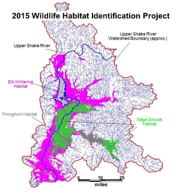
Wildlife Habitat Mapping Project, Teton County, Wyoming
Biota was hired by Teton County, Wyoming, to map existing wildlife habitat throughout the County for diverse species of concern. Biota coordinated closely with numerous agency and non-profit organizations to compile the best available information and we subsequently developed cross-walks between independent spatial data sets to generate a single accessible Geographic Information System (GIS).
Biota's efforts then expanded upon existing information by developing geospatial wildlife habitat data sets using complex spatial analyses that integrated landscape characteristics associated with land slope, cover type, land use, proximity to key resources, and elevation. Biota's study products will enable land managers to administer county-wide planning projects cognisant of existing wildlife habitat conditions and land use objectives.
Natural Resource Mapping Projects, Upper Green River Watershed, Wyoming
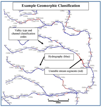
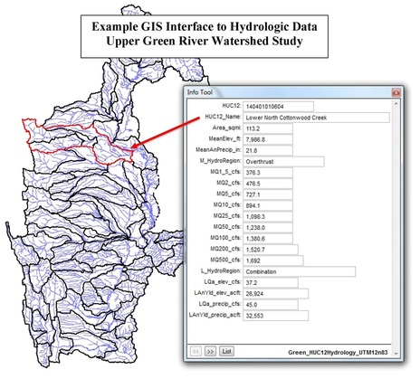
Biota was on a team of professionals hired by the State of Wyoming--the Wyoming Water Development Commission--to develop geospatial data sets and numerous GIS mapping products describing natural resources conditions throughout the 2 million acre Upper Green River Watershed. Biota completed numerous natural resource investigations to obtain, compile, and generate a robust watershed-specific Geographic Information System (GIS). The associated spatial data characterize numerous attributes of natural resource conditions at high resolution. Examples include mapping of geomorphic channel classification of sub-reaches of all primary watercourses within the basin (below, left) and modeled hydrologic conditions of all 12-code Hydrologic Units in the watershed (below, right).
Biota's efforts present quantitative resource data in a consolidated Geographic Information System (GIS) environment to inform local land managers, private land owners, and government agencies during efforts to implement diverse resource improvement projects.


